2006 South Manitou Island Cemetery Survey
The main cemetery on South Manitou Island was established in 1903 on a one-acre parcel in the northeast corner of the Thomas and Mary Price farm, purchased for that purpose from the Prices. Unfortunately, burial records were transferred to Glen Arbor Township as people left the island, and were lost when the Township Hall burned down.
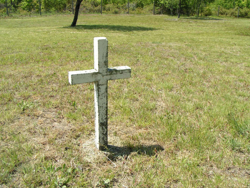
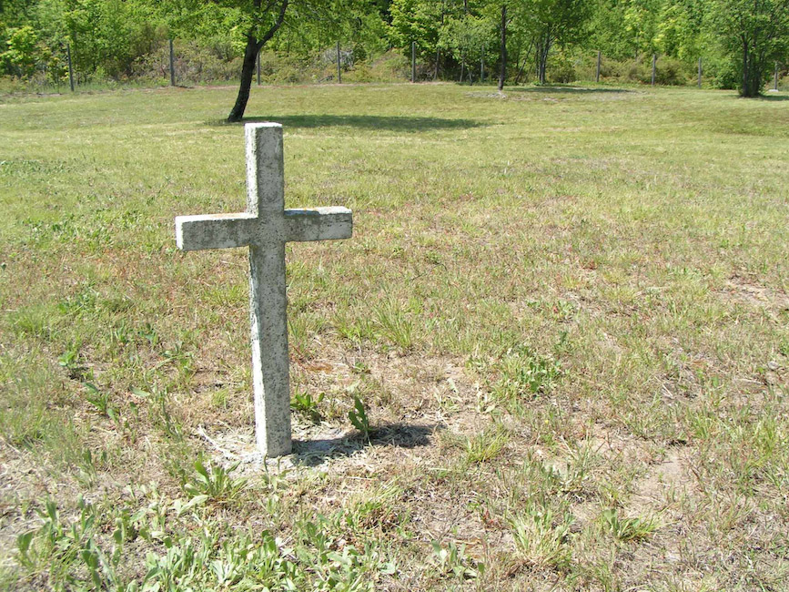
A survey conducted in June 2006 produced the plot map provided here. As can be seen, the cemetery had a regular layout consisting of nine rows of burial sites, divided by a center access lane. Assuming six-foot plot widths, the cemetery could conceivably accommodate 288 graves. Since early burials were often identified with wooden memorial markers, only forty-four graves have remaining stone markers. Some of these are graves that were remarked by Glenn Furst with homemade concrete crosses. Twenty-six unmarked graves were located by iron rod grave dousing; two of these outside the fence near the front entrance were recently remarked with "Unknown" concrete memorials.
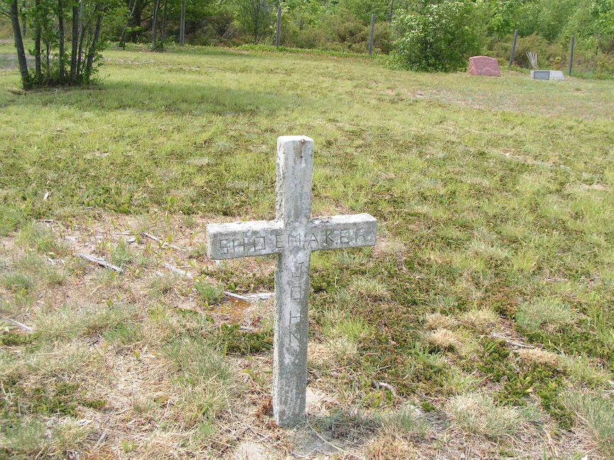
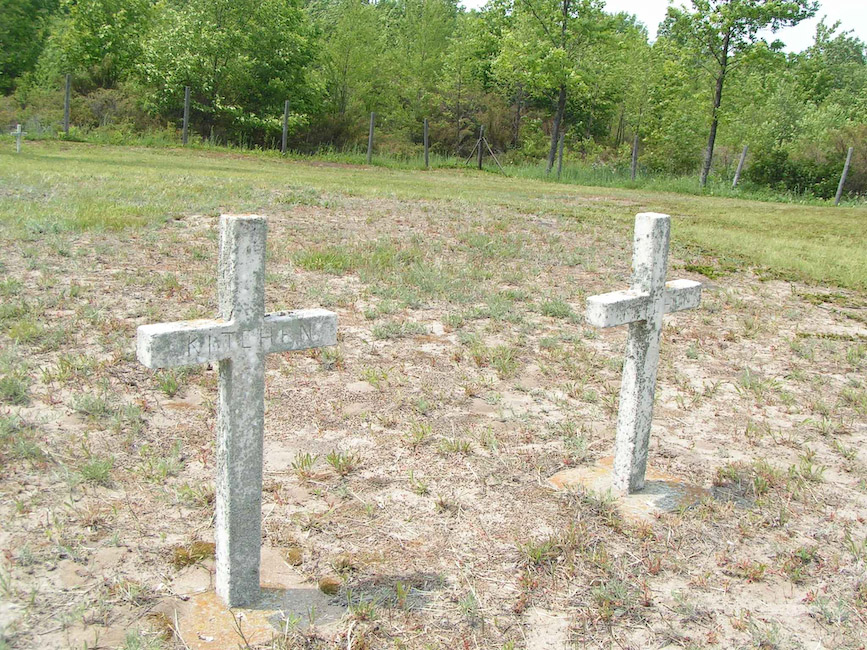
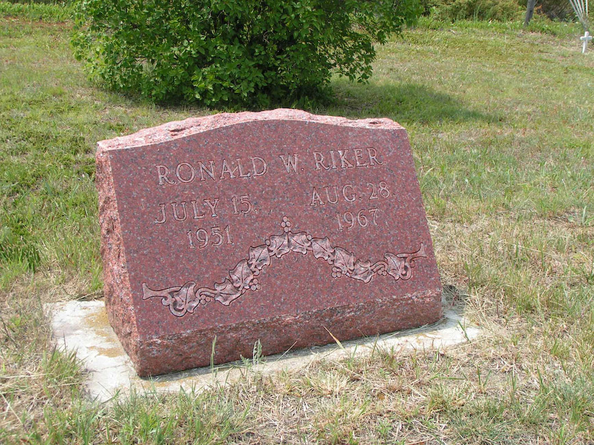
Photos of existing markers provided here are:
- John Shoemaker
- "Kitchen" & "Kitchen"
- Ronald W. Riker: July 15, 1951 - Aug 28, 1967
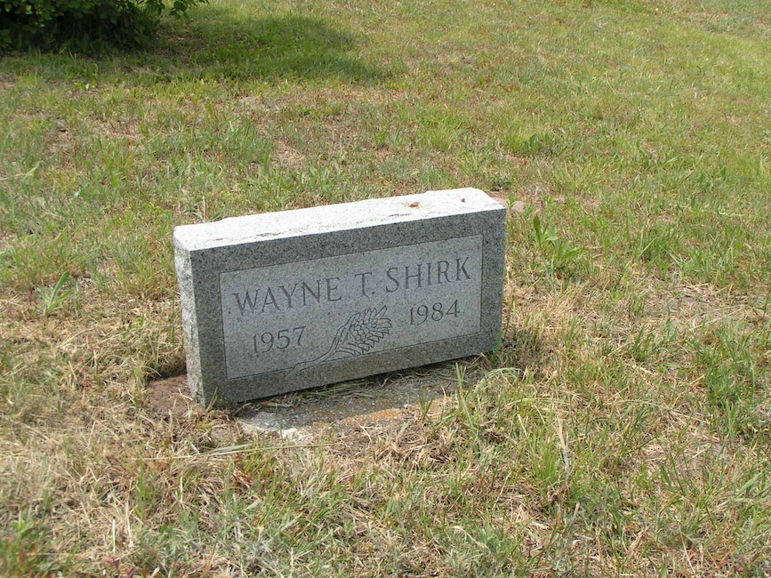
- Wayne T. Shirk: 1957 - 1984
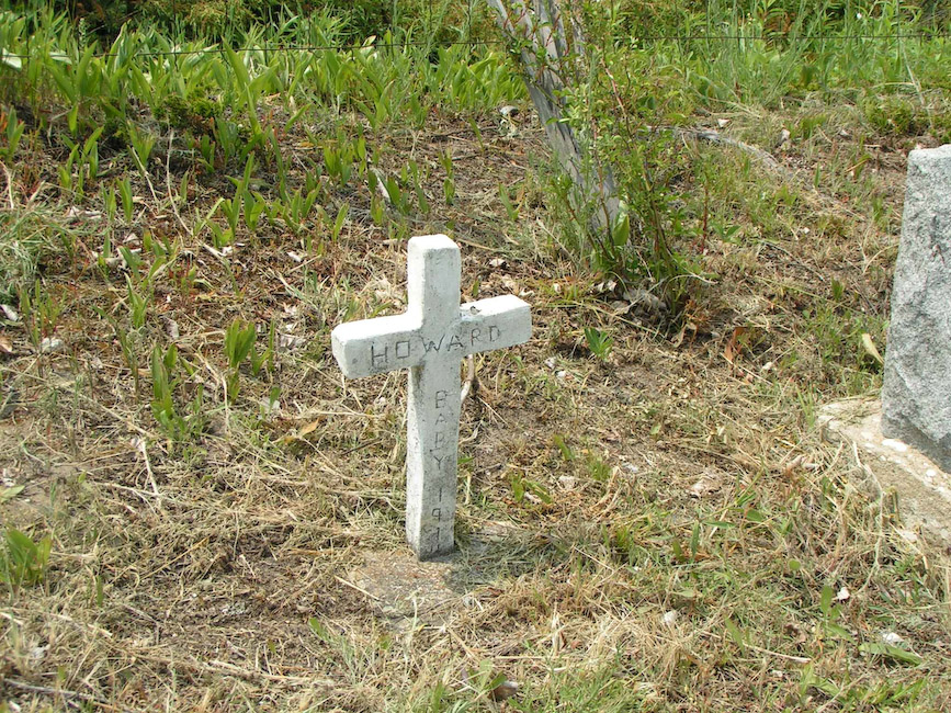
- Howard Baby: 1914
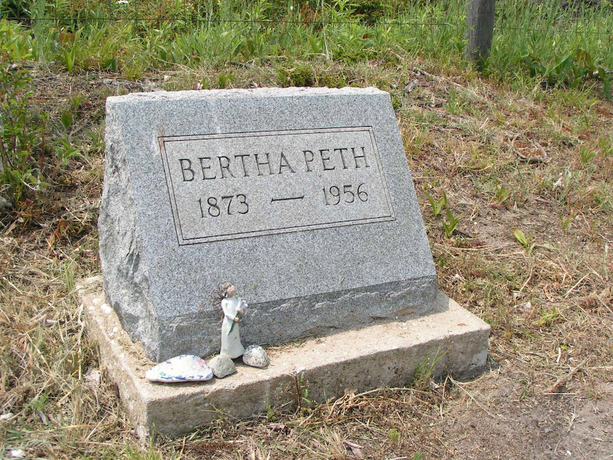
- Bertha Peth: 1873 - 1956
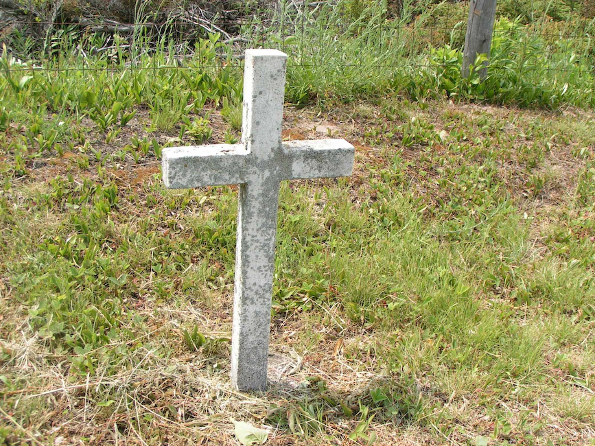
- Unmarked
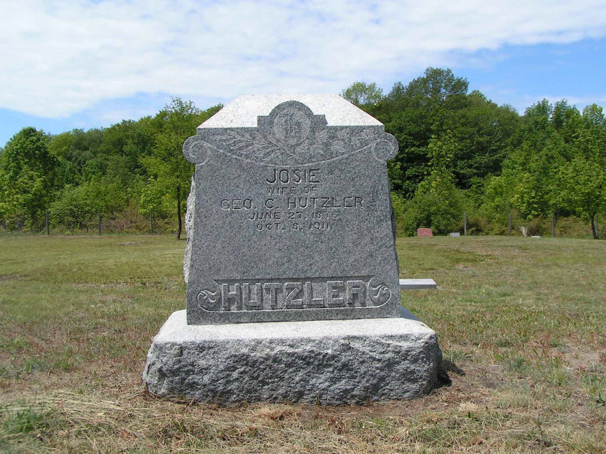
- Josie, Wife of Geo. C. Hutzler: June 27, 1876 - Oct 8, 1911
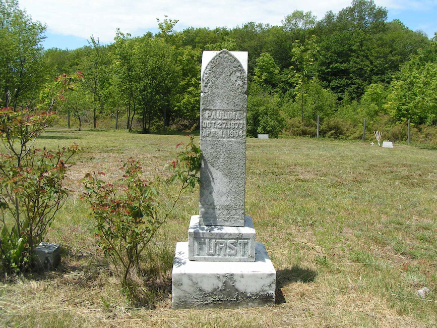
- Paulina (Furst): Oct 27, 1877 - Apr 1, 1904
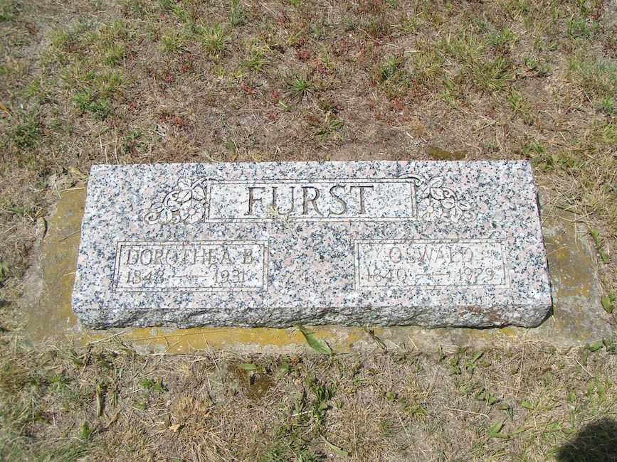
- Furst: Dorothea B.: 1848 - 1931 & Oswald: 1840 - 1929
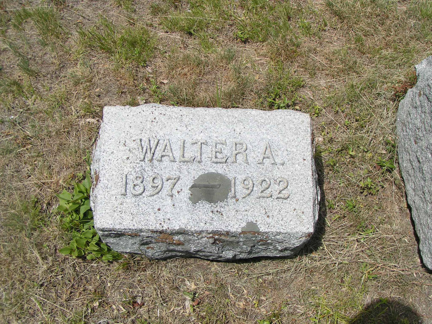
- Hutzler: Walter A.: 1897 - 1922
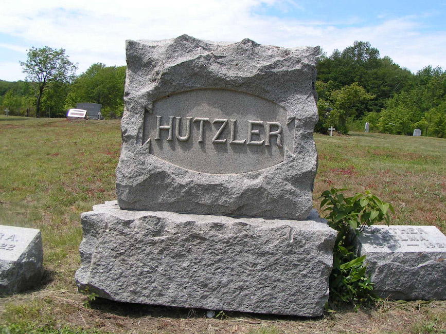
- Hutzler Family Main Monument
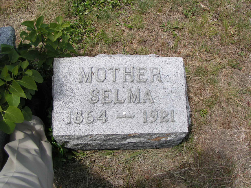
- Hutzler: Mother, Selma: 1864 - 1921
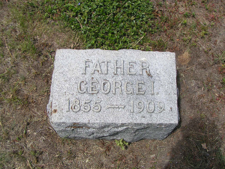
- Huzler: Father, George I.: 1855 - 1909
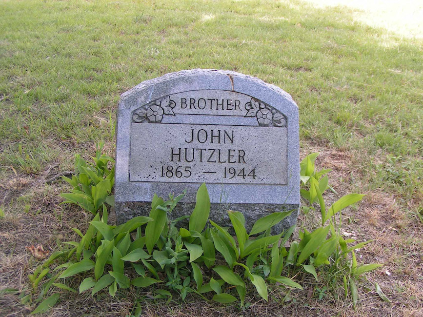
- Brother, John Hutzler: 1965 - 1944
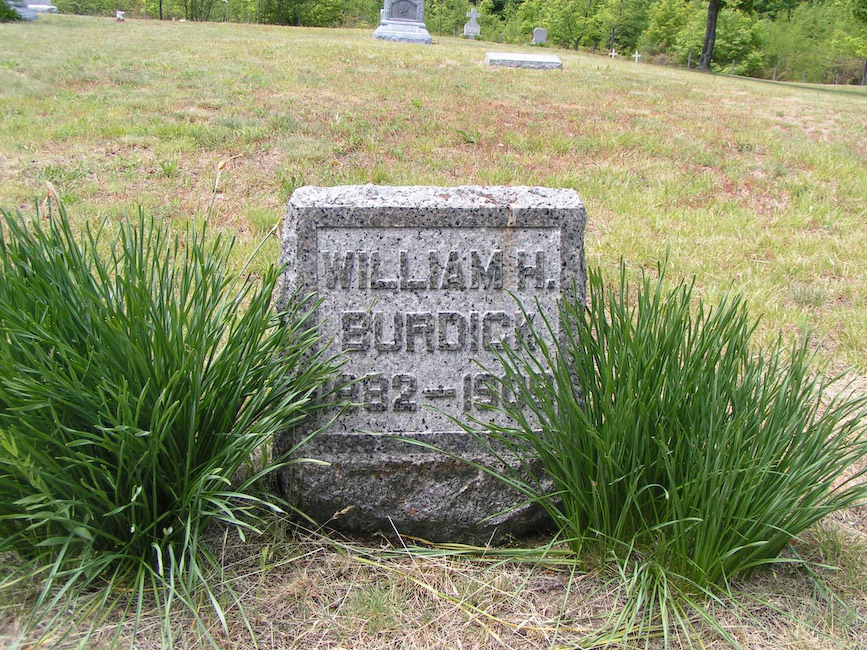
- William H. Burdick; 1882 - 1909
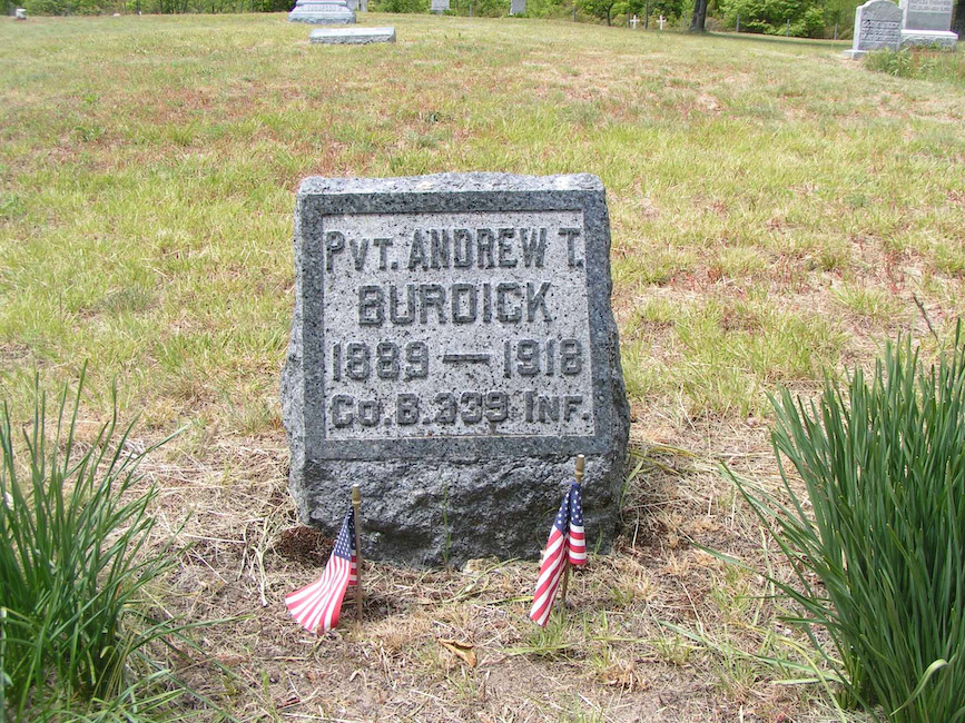
- Pvt. Andrew T. Burdick: 1889 - 1918, Co. B. 339 Inf
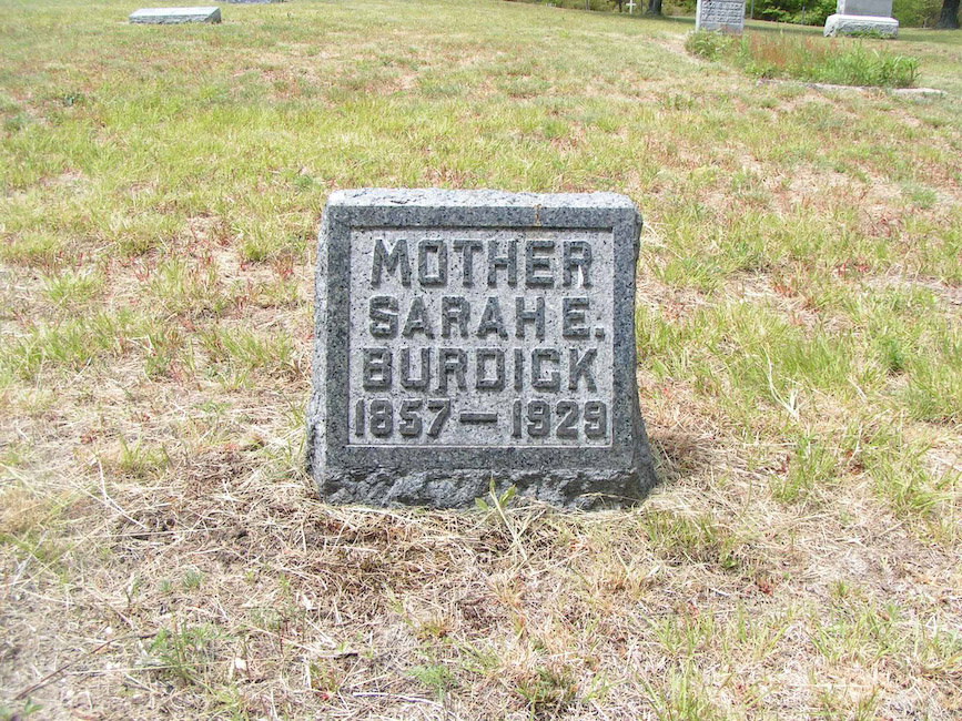
- Mother, Sarah E. Burdick: 1857 - 1929
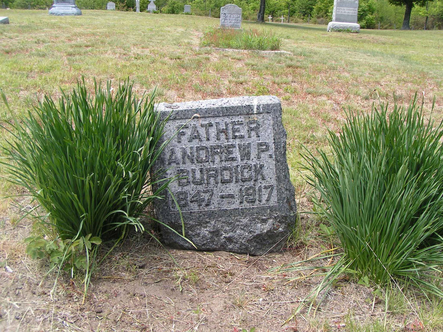
- Father, Andrew P. Burdick: 1847 - 1917
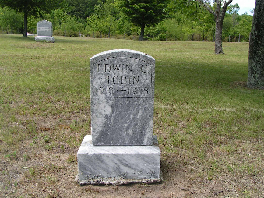
- Edwin C. Tobin: 1910 - 1938
- Beck: Elizabeth Haas: 1855 - 1928 & August: 1853 - 1941
- L. Haas, Baby - Jessie Belle
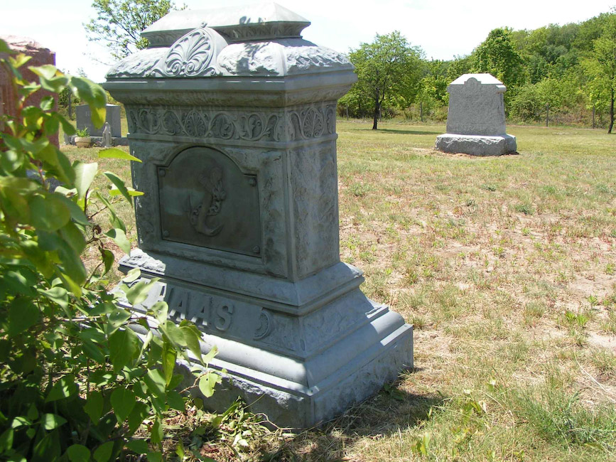
- Haas Family Main Monument
- Joseph Haas: 1853 - 1912
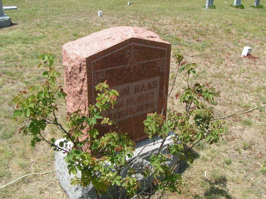
- John Haas: Jan 15, 1852 - Feb 15, 1924
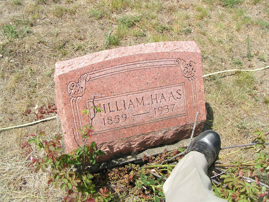
- William Haas: 1859 - 1937
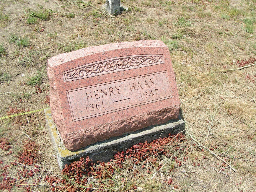
- Henry Haas: 1861 - 1947
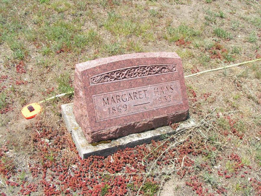
- Margaret Haas: 1869 - 1953
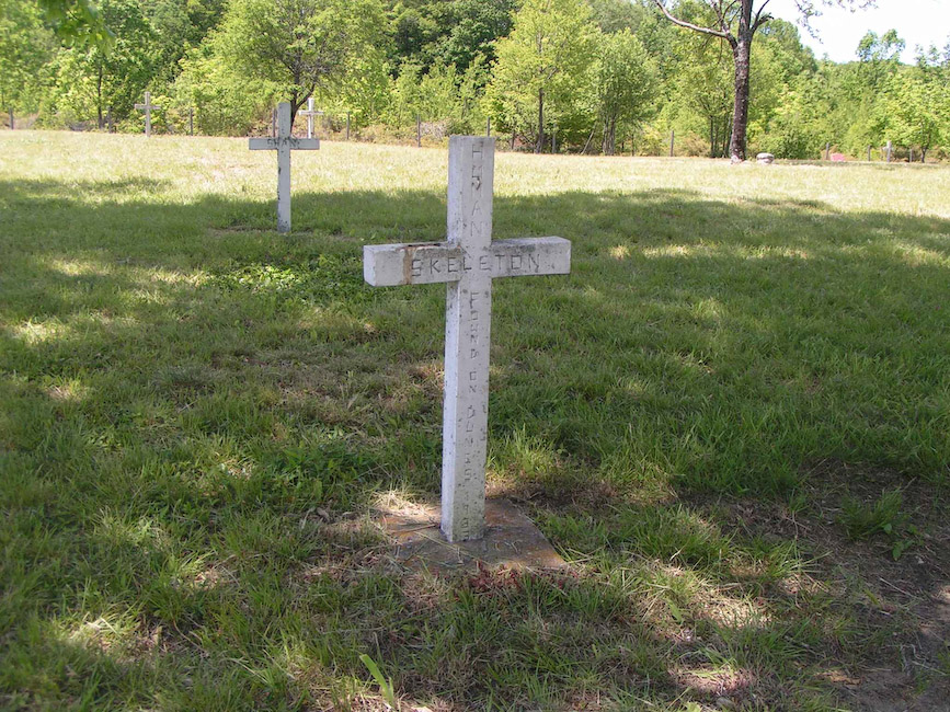
- Human Skeleton Found on Dunes - 1933
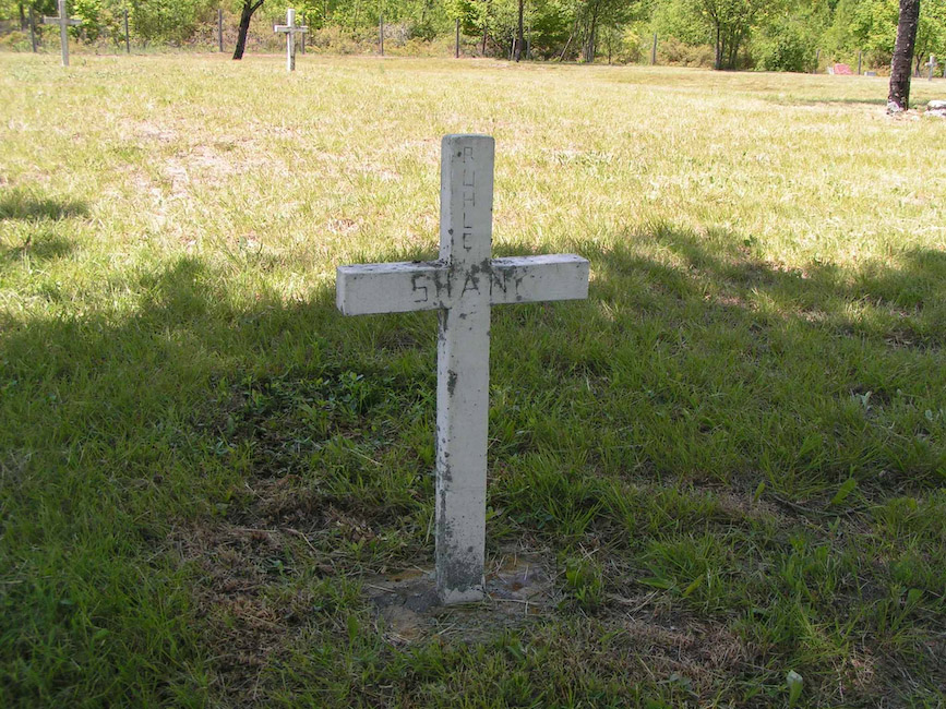
- Ruhle Shank
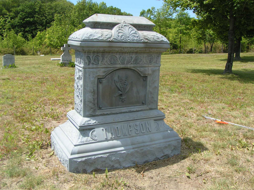
- Thompson Main Family Monument
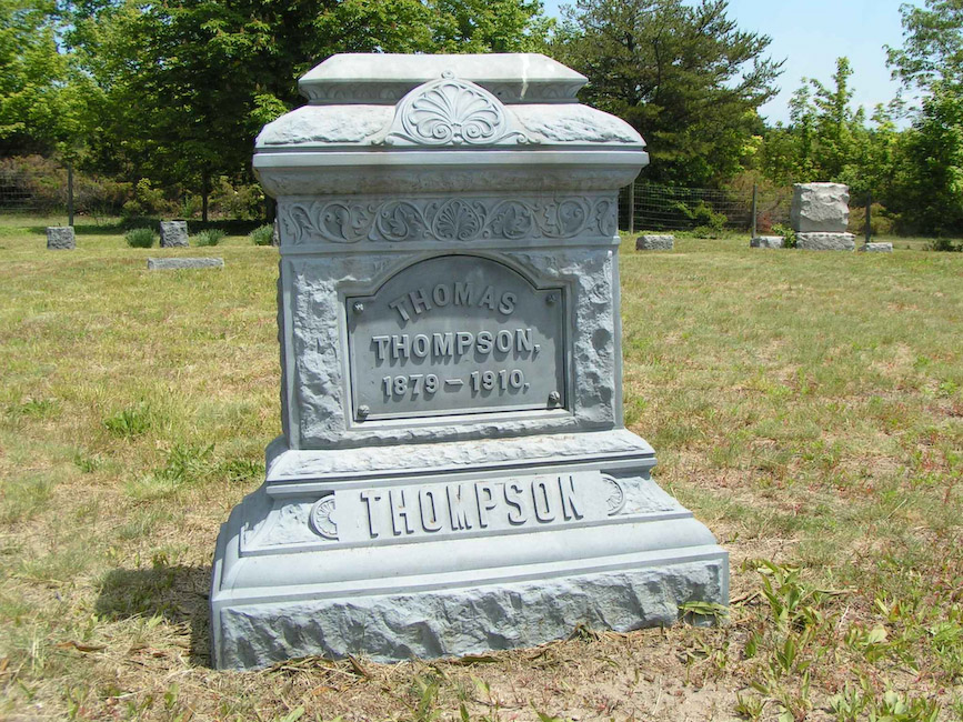
- Thomas Thompson: 1879 - 1910
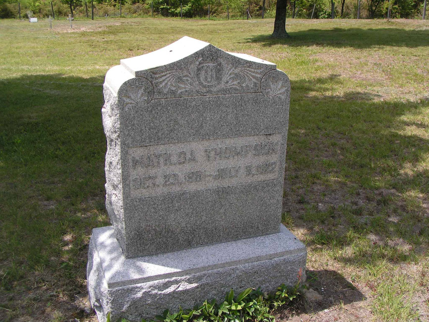
- Matilda Thompson: Oct 20, 1861 - Jul 9, 1912
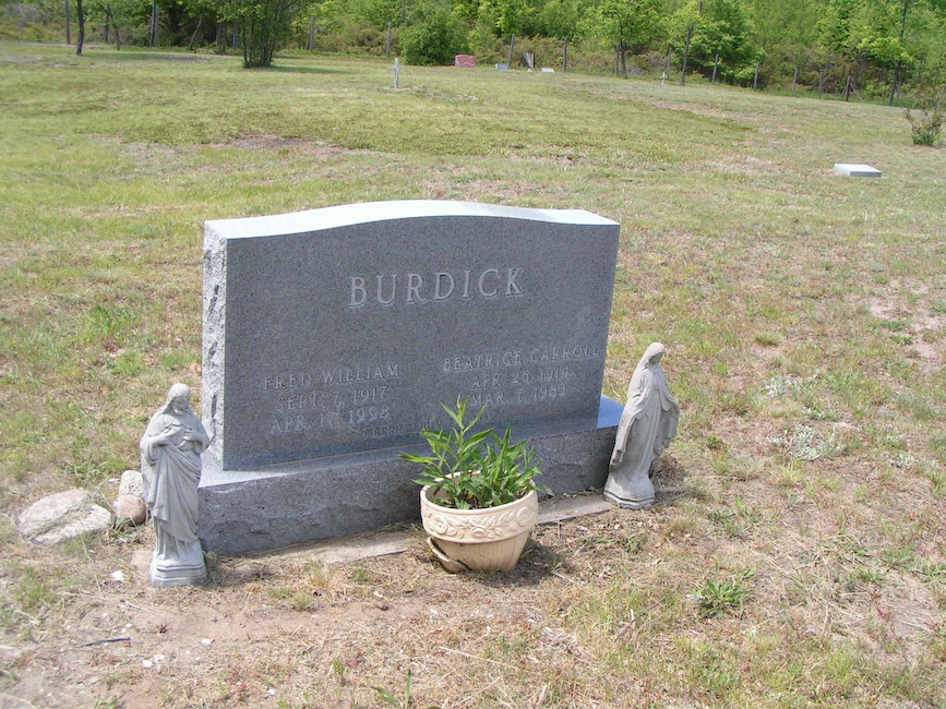
- Burdick: Fred: Sep 7, 1917 - Apr 17, 1998 & Beatrice: Apr 26, 1914 - Mar 7, 1983
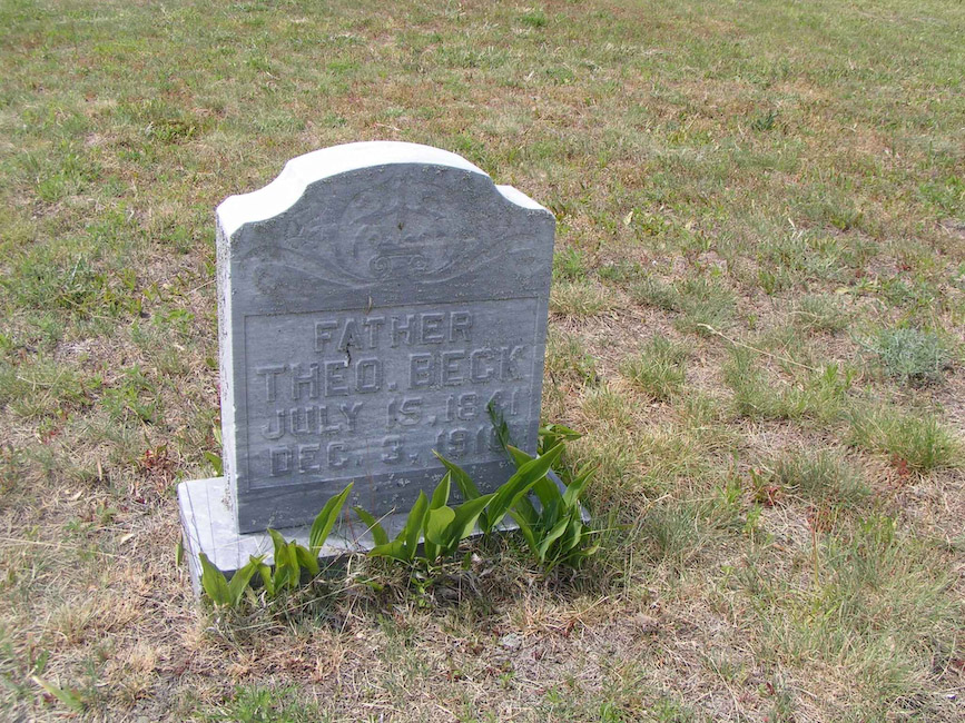
- Father, Theo. Beck: July 15, 1941 - Dec 3, 1916
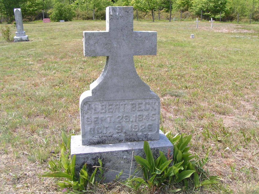
- Albert Beck: Sep 28, 1845 - Oct 9, 1926
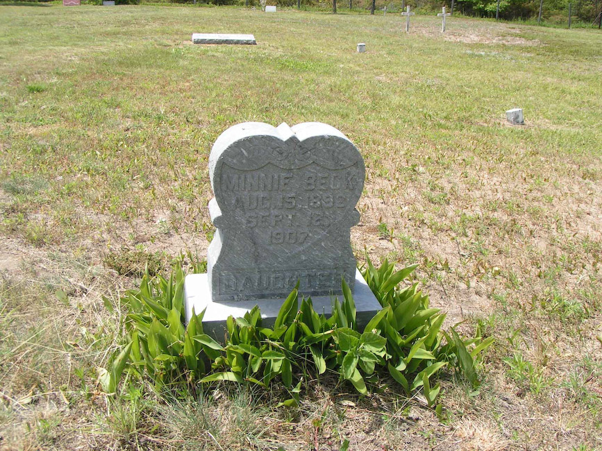
- Minnie Beck: Aug 15, 1892 - Sept 12, 1907
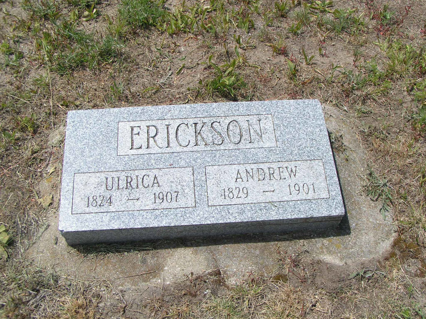
- Erickson: Ulrica: 1824 - 1907 & Andrew: 1829 - 1901
- Unmarked
- Unmarked